Understanding the Science Behind Severe Thunderstorms with Rotating Updrafts: The Threat of Supercells
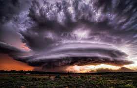
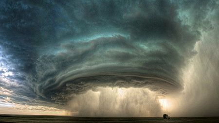
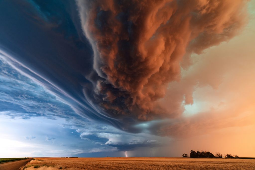
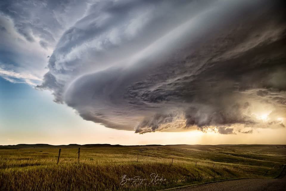
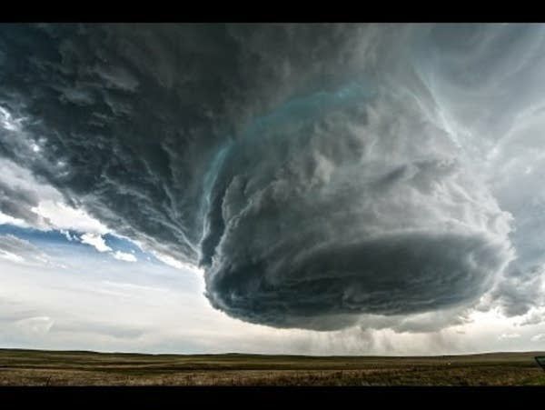
Severe thunderstorms with rotating updrafts, also known as supercells, are a dangerous and complex weather phenomenon that can produce tornadoes, hail, and damaging winds. To understand the science behind these storms, it is helpful to first understand the basic structure of a thunderstorm.
A typical thunderstorm consists of an updraft and a downdraft. The updraft is a column of warm, moist air that rises rapidly, while the downdraft is a column of cool, dry air that descends. In a supercell, the updraft is especially strong and can rotate, creating a mesocyclone. The mesocyclone can then produce a variety of severe weather conditions.
One of the key factors that contribute to the formation of supercells is wind shear, which refers to a change in wind speed or direction with height. Wind shear can create a horizontal spinning motion in the atmosphere, which can then be tilted vertically by the updraft. This can create a rotating updraft and increase the likelihood of a supercell forming.
Supercells are also characterized by their longevity and ability to maintain their strength for extended periods. This is due to a process known as “feedback,” in which the updraft draws in additional warm, moist air, which then strengthens the updraft further. This positive feedback loop can continue for hours, allowing the supercell to persist and produce severe weather.
In summary, supercells are severe thunderstorms with rotating updrafts that can produce tornadoes, hail, and damaging winds. They form due to a combination of strong updrafts, wind shear, and positive feedback, and understanding the science behind these storms is crucial for predicting and preparing for severe weather events.
Hits: 0
